UAV
Type of resources
Topics
Keywords
Contact for the resource
Provided by
Representation types
Update frequencies
status
-

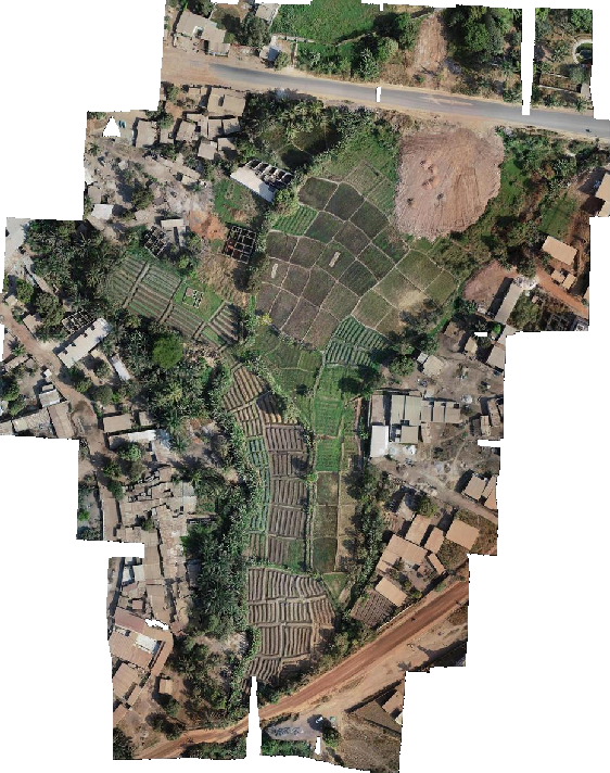
This metadata sheet lists the WMTS of the UAV image mosaics produced by the COhéSIoN project and hosted in OpenAerialMap. They cover 6 areas of Bouaké, Côte d'Ivoire: - Belleville (1 single mosaic at 5cm resolution) - Air France (1 single mosaic at 5cm resolution) - Koko (1 single mosaic at 5cm resolution) - Sossibougou (1 single mosaic at 5cm resolution) - Odiennekourani (1 mosaic limited to peri-urban areas for each month of 2019, 2 or 5 cm resolution) - Ngattakro (1 mosaic limited to peri-urban areas for each month of 2019, 2 or 5 cm resolution) These mosaics are the result of imagery collected by Arsène Adou using a Phantom 4 Pro v2 drone between 2019 and 2020. The exact dates are given below in the WMTS title. The 5cm resolution zones were acquired at an altitude of 99m with a front overlap of 75% and a side overlap of 65%. Mosaicking was done using OpenDroneMap for peri-urban areas and Photoscan for other, much larger areas. A link to the OpenAerialMap page for COhéSIoN imagery is also provided in the associated online resources.
 Catalogue IFL